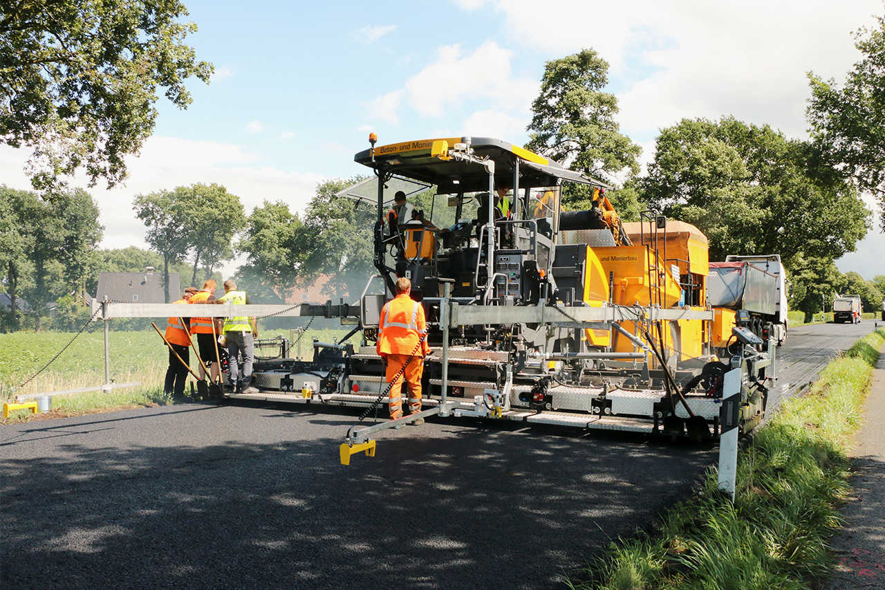
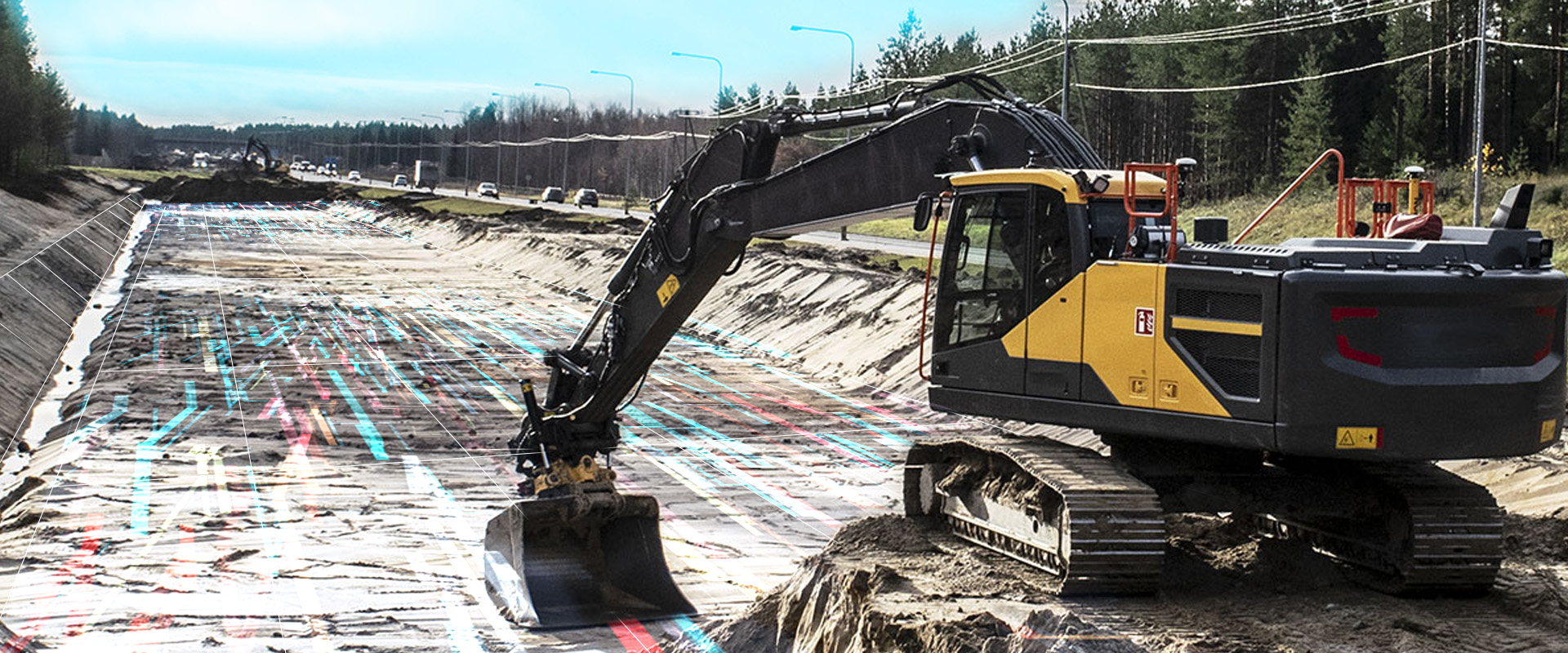
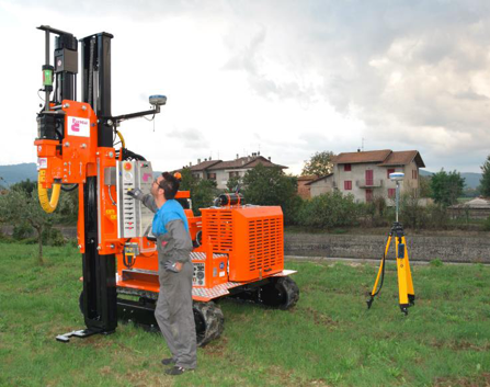
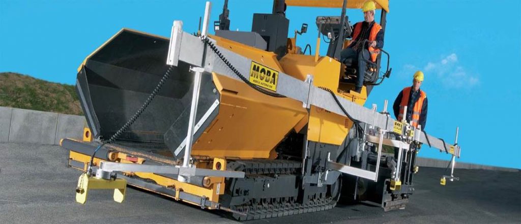
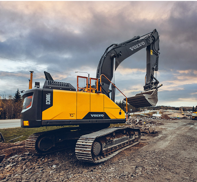
6. 3D Guidance Systems (3d)
The operation of a Three-Dimensional (3D) Guidance System is based on the existence of the study in digital form. The study results from the topographic mapping of the workplace and the subsequent processing by creation software 3D Models (DTM – Digital Terrain model).
This study is entered (loaded) into the system computer installed on the machine. Therefore, we know at every point of the workspace the final desired position of our surface.
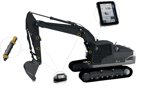
Our measuring instruments give the exact position of the Tool at every point of the working area of the machine in real time. The system therefore compares the actual position of the tool with the desired position of the study and gives the command to the Tool to carry it out.
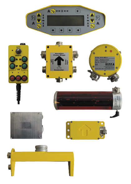
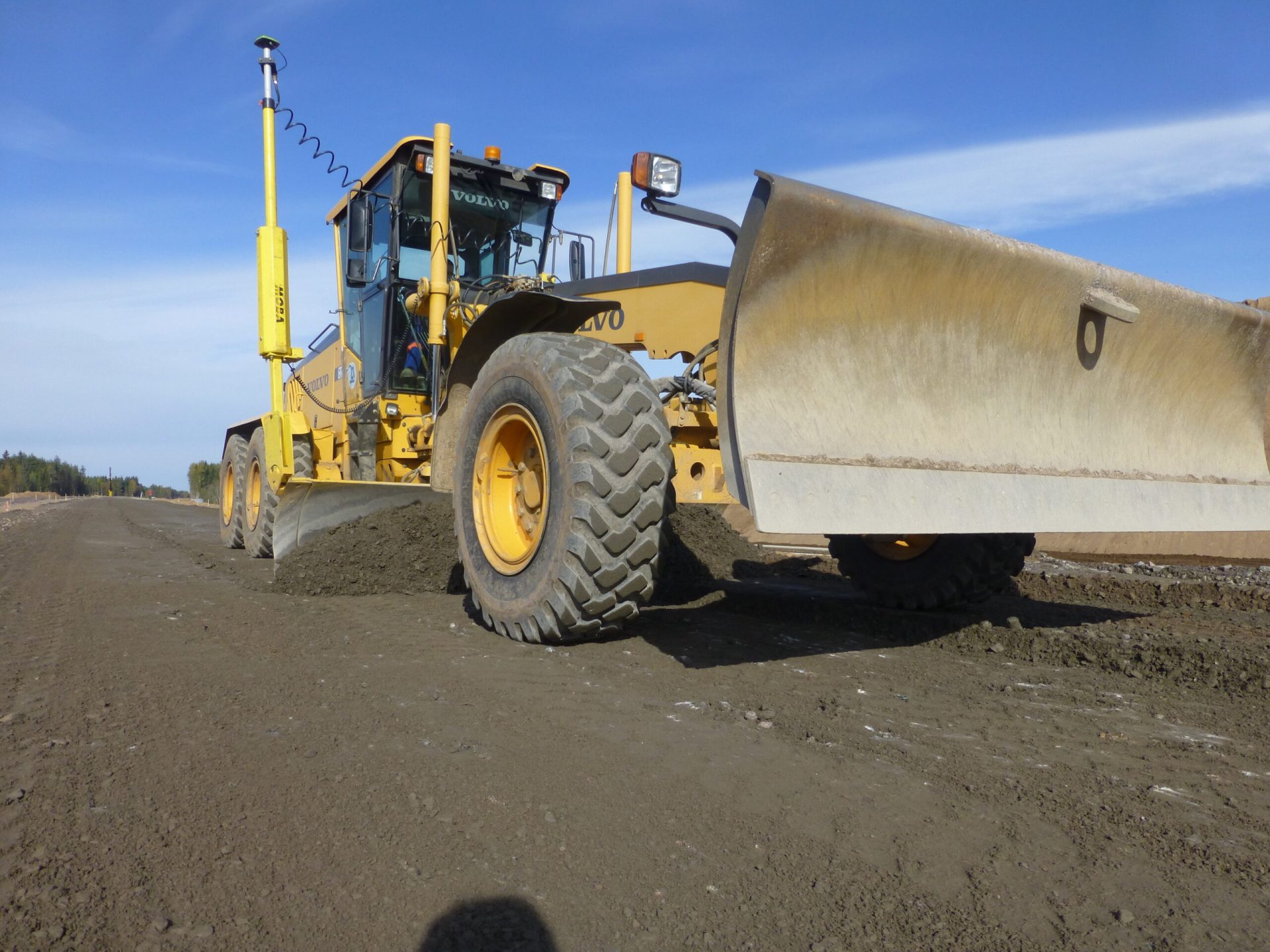
The main measuring instruments used to find the actual position of the machine tool are GNSS geodetic receivers (also known as GPS receivers) and robotic geodetic stations (RTS), while height sensors, inclinometers, tachometers, Laser receivers, etc.

